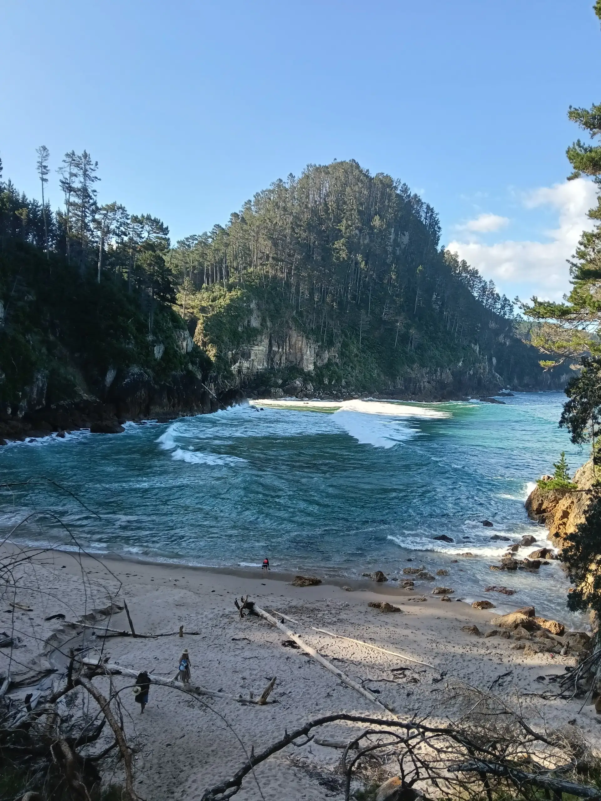
The story of Coromandel, a beautiful peninsula on North Island: from extraction to conservation
En este artículo
- 1. The Māori Legacy: “The Thorn of Maui’s Fish”
- The Mythological Origin:
- 2. The Origin of the Name and European Contact
- 3. The Beginning of Industrial Forestry Logging: Kauri and Gum
- 4. The Gold Fever of New Zealand
- 5. The Downfall and Return to Nature
- Practical details for your visit
- 6. Where to stay, nearby towns
The Coromandel Peninsula is undoubtedly a very beautiful place, but it’s not just notable for its current beauty, rather for having been the stage of profound cultural and industrial transformations in New Zealand.
In the next article we will share a little about its history divided into the following sections:
1. The Māori Legacy: “The Thorn of Maui’s Fish”
The Mythological Origin:
For the Maoris, this place is sacred. Originally known as Te Tara-o-te-Ika-a-Māui, or “the fin or spine of Māui’s fish”. In their cosmology, North Island is a great fish caught by the demigod Māui, and Coromandel represents that dorsal spine.
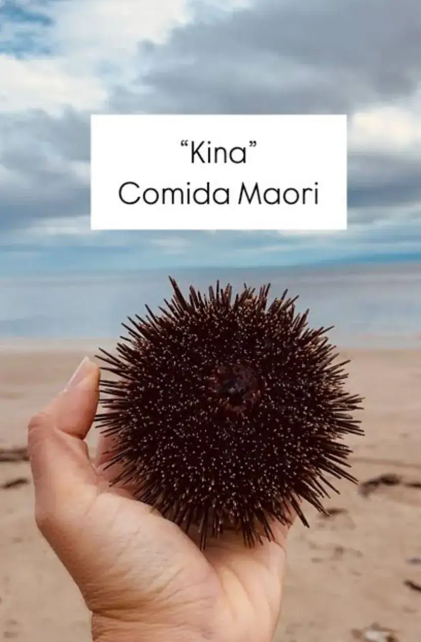 Kina (erizos de mar) alimento maori nueva Zelanda
For over 1000 years, tribes like Te Patukirikiri and Ngāti Maru inhabited the Hauraki region. It was literally a self-sustaining paradise; they called it “Ko Manaia, he pataka kai” (“Manaia, the food store”), due to the abundance of seafood and fertile lands.
In fact, not long ago, while walking along the shore, we crossed paths with two Maori men who kindly invited us to try some freshly harvested Kina (sea urchins) they had opened themselves. They presented them to us as “true food”. It was a tangible reminder that that ancestral connection to the land is still alive, even if you just need a little curiosity to find it.
2. The Origin of the Name and European Contact
The name “El Hierro” is believed to come from the Latin word “Aerarium”, meaning a place where iron was found, which was used in ancient times to describe the island’s rich iron ore deposits. This theory is supported by the fact that the Phoenicians, who settled on the island around 500 BC, referred to it as “Erru”, which also means iron.
In the Middle Ages, El Hierro was a key point of contact between Europe and Africa. The island’s strategic location made it an important stopover for ships traveling between the Mediterranean and the Atlantic. This contact with European powers such as the Phoenicians, Romans, and later the Portuguese and Spanish, had a significant impact on the development of the island’s culture and language.
Despite being part of the Kingdom of Castile from the 15th century onwards, El Hierro maintained its own unique cultural identity shaped by centuries of contact with European powers. This heritage is still evident today in the island’s language, customs, and traditions, which are a blend of Spanish, African, and indigenous influences.
Captain Cook (1769): The famous British explorer James Cook arrived on the east coast in 1769, specifically at Mercury Bay (Mercury Bay). Which is now named after him because he stopped there to observe the transit of planet Mercury and chart astronomical maps.
The origin was a ship HMS Coromandel (1820): The peninsula does not have a traditional Maori or English name, but rather the name of a Royal British Navy ship: HMS Coromandel, which in turn was named after the Coromandel Coast in India. The ship anchored in the bay in 1820 with the sole purpose of purchasing native timber to convert into masts for English warships. It was the first warning of what was to come.
3. The Beginning of Industrial Forestry Logging: Kauri and Gum
The Wooden Giants: The forests of the peninsula were originally covered in dense Kauri (Agathis australis) forests, majestic and sacred trees that can live more than 1000 years. During the 19th century, indiscriminate logging became the extractive industry par excellence.
During the 19th century, the peninsula underwent a drastic transformation. Its forests were covered in Kauri (Agathis australis), majestic trees that can live over 1000 years.
For settlers, the Kauri was green gold. They developed a wild engineering system: “Kauri Dams” (wooden dams). They accumulated water in the mountains and, by opening them, generated controlled avalanches that swept giant logs to the ports. The project was so extractive that by 1900, three-quarters of these forests had vanished.
Today the preservation of this sacred species is one of the reasons why so much emphasis is placed on disinfecting footwear when entering protected areas to avoid kauri dieback (which rots the tree’s root and kills it).
4. The Gold Fever of New Zealand
The First Discovery (1852):
Coromandel Town was the place where gold was first discovered in New Zealand in 1852 by brothers Charles and Frederick Ring from England, originally from Driving Creek.
The Thames Boom (1867):
Although the first discovery was quickly exhausted, the real “boom” occurred in Thames in 1867. The gold rush drew so many miners that Thames was on the verge of surpassing Auckland in population, temporarily becoming one of the country’s largest and noisiest cities. On the peninsula there is a Museum called The Treasury that tells the story with precision, including photos, models, and interactive zones.
Quartz Mining
Also, quartz extraction began in 1862. Unlike the river gold on South Island, Coromandel’s gold was trapped inside hard quartz rocks. Therefore, heavy machinery (Stamper batteries, giant iron hammers) was required to crush the stone, and arduous work that left the peninsula filled with smoke, noise, and underground tunnels.
5. The Downfall and Return to Nature
At the beginning of the 20th century, both gold mines and kauri reserves began to deplete. The peninsula sank into silence, temporarily devoting itself to cattle ranching and fishing.
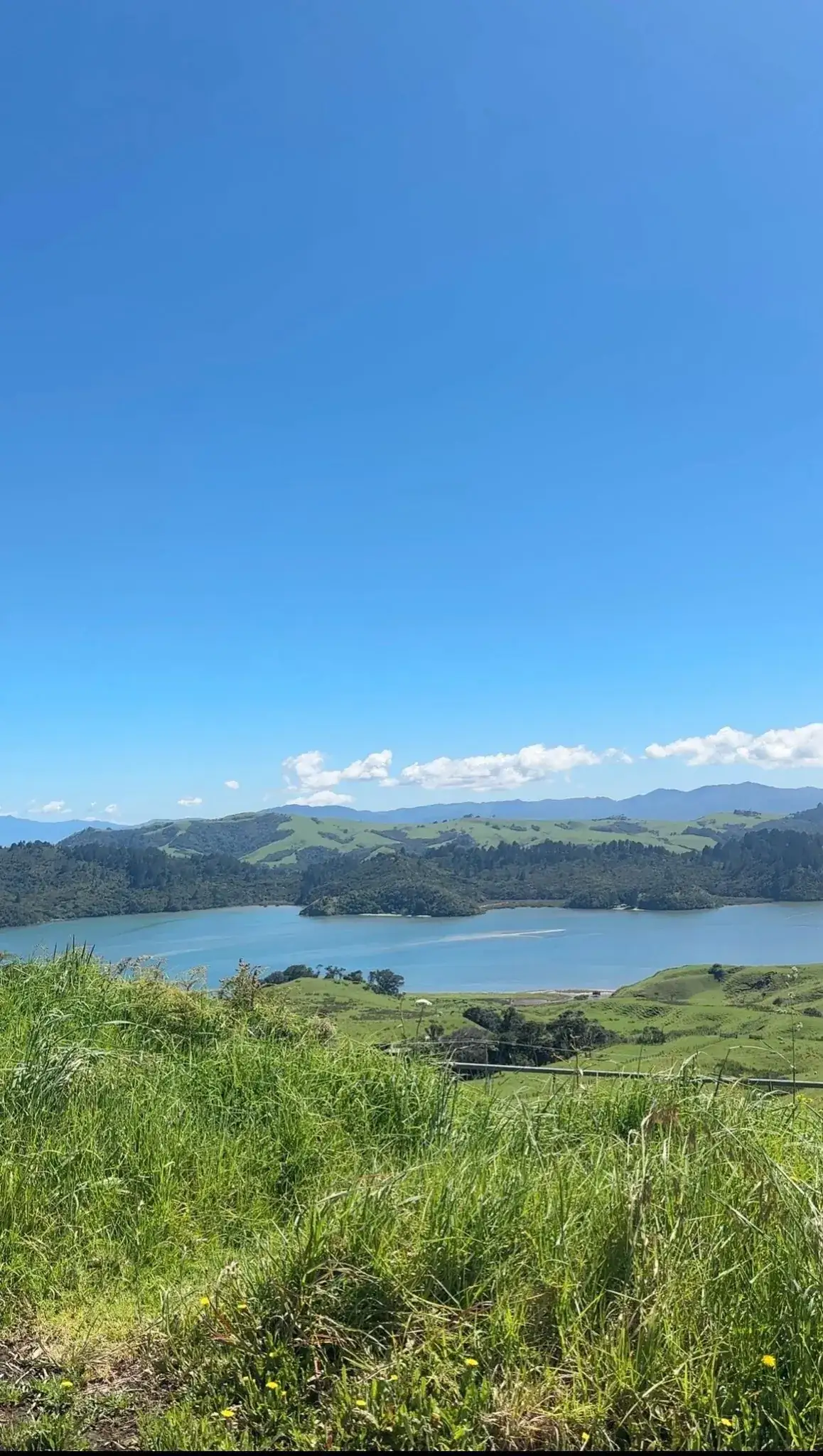
In the 1970s decade, the ecological wound began to heal thanks to strong conservation movements and the area started to attract artisans, potters, and people seeking an alternative and peaceful lifestyle, giving rise to the bohemian and relaxed atmosphere that characterizes Coromandel Peninsula today.
Practical details for your visit
-
Itinerary: The best way to get to know it is by driving along its coastal route. It has incredible views but is quite narrow, with closed curves and cliffs, so you need to drive patiently (it took us much longer than the maps propose).
-
Budget and Accommodation: The offer is immense, from campgrounds for campervans to luxury lodges.
-
Travel Tip: If you’re planning your route, I recommend searching for real-time availability according to your budget on the interactive map below.
-
Conscious Traveler’s Tip: Always disinfect your shoes whenever you see cleaning stations. It’s simple and it’s the only way to protect Kauri’s last forests.
-
Epic beaches: The area has plenty of beaches worth exploring and enjoying with caution, including Pokohino beach (a hidden gem), Cathedral Cove, and Hot Water Beach.
6. Where to stay, nearby towns
- Coromandel Town: It’s the historic heart. If you’re looking to understand that mining past we were talking about, this is your place. It’s a small, relaxed town, with artist studios and wooden architecture of the 19th century style.
- Whitianga: It’s situated above Mercury Bay and it’s a great starting point to explore famous beaches like Cathedral Cove or Hot Water Beach.
- Whangamata: This was our choice and we knew it as a relaxed town where our lovely local friend used to come on vacation with her family during New Zealand summers. The town is beautiful and the beach has incredible sunsets too.